


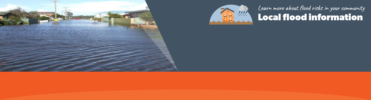
Borough of Queenscliffe
Borough of Queenscliffe Flood History
Flash flooding in the Borough of Queenscliffe occurs as a result of short duration, high intensity rainfall which can cause localised flooding within the municipality along overland flow paths when the urban drainage system surcharges. Flooding from these storms occurs with little warning and localised damage could occur.
The Borough of Queenscliffe also experiences storm surge events, where weather conditions like storms and low-pressure systems increase sea water levels. This can cause damage to coastal infrastructure and can lead to flooding of low-lying coastal land when combined with gale-force onshore winds.
Storm surge events are expected to occur more often and more intensely in future due to climate change.
Borough of Queenscliffe Local Flood Guide
At this time, there are no Local Flood Guides for the Borough of Queenscliffe area. Go to the Plan and stay safe page for information on how you can plan and prepare for emergencies.
About Flood Guides
Communities can use local flood guides to identify and better understand their local flood risk. They include information about: flood history, how to prepare & respond to floods and who to contact.
Contact Information


Local SES Units
- Bellarine VICSES Unit:
702 Grubb Road,
Drysdale
Municipal Flood and Storm Plan
Borough of Queenscliffe Emergency management plan.