


Central Goldfields Shire Council
Central Goldfields Flood History
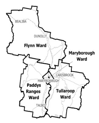
Central Goldfields Shire Council has a history of flooding including the significant flood events in
November 2010, and January 2011 which impacted the townships of Maryborough, Carisbrook, Dunolly and vast extents of rural areas resulting in extensive damage.
The lead time to respond to a flood event may be limited. All households and businesses at risk of flooding should develop an emergency plan and be aware of their flood risk.
Carisbrook Local Flood Guide
Click the button below to view the Local Flood Guide, which includes information about the local flood risk and how you can prepare for and respond effectively to floods.
About Flood Guides
Communities can use local flood guides to identify and better understand their local flood risk. They include information about: flood history, how to prepare & respond to floods and who to contact.
Contact Information


Local SES Units
-
Dunolly VICSES Unit
51 Broadway,
Dunolly, Victoria.
- Maryborough VICSES Unit
- 70 Burn Street,
- Maryborough, Victoria.
Municipal Flood and Storm Plan
Central Goldfields flood emergency plan - Updated June, 2019