


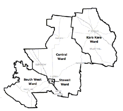
Northern Grampians Shire Council Flood History
Northern Grampians Shire Council has a long history of flooding including a significant flood event most recently in January 2011. This impacted the areas of Glenorchy, Halls Gap and Dadswells Bridge and vast extents of rural areas resulting in extensive damage through Navarre, Landsborough, Eversley, Crowlands, Joel Joel, Greens Creek and Campbell’s Bridge.
The key waterways which impact Northern Grampians Shire Council are the Wimmera River and Mt William Creek including the flood event of January 2011.
The lead time to respond to a flood event may be limited. All households and businesses at risk of flooding should develop an emergency plan and beware of their flood risk.
Households and business should refer to their Local Flood Guide or the Northern Grampians Shire Flood Emergency Plan for more information.
Halls Gap Local Flood Guide
Glenorchy Local Flood Guide
Glenorchy Guide to Gauges
There are five river gauges along various waterways upstream of Glenorchy (see gauges link). River gauges monitor river levels and may be used to predict flood events and levels for downstream properties and communities. Some river gauges have flood class levels of minor, moderate and major established, such as the Wimmera River at Glenorchy Gauge, while others show river height in metres (m).
Dadswells Bridge Local Flood Guide
About Flood Guides
Communities can use local flood guides to identify and better understand their local flood risk. They include information about: flood history, how to prepare & respond to floods and who to contact.
Contact Information


Local SES Units
- St Arnaud VICSES Unit:
- 55 Wheeler St,
- St Arnaud, Victoria
- Stawell VICSES Unit:
33 Sloane Street, - Stawell, Victoria